
Jenny Jump Mountain #2
| Quick Look | |||||
|---|---|---|---|---|---|
| Difficulty | Round trip | Total climb | Location | Elevation | Internet Maps |
| 2.9 mi | 1100 ft | N40.909 W74.74.9226 Warren | 1112 ft | AllTrails | |
 There are four high points on the Jenny Jump Ridge. It is easiest to do #1 and #2 together and then relocate your car and hike #3 and #4.
Park at the bathrooms up the hill from the park office for Jenny Jump State Forest. You may pick up a trail map but be aware that they are very general and do not show the contours. Look for the signs for the yellow blazed Summit Trail. Walk the summit trail along the ridge for about 1.3 miles to the high point. There is a nice lookout to the southwest over Jenny Jump #2 just as you start up the trail. There are several viewpoints to the southeast and one toward the northwest as you walk along the ridge. Be sure of your destination since there are several "bumps" that you might think are the high point. Walk back along the ridge to the southwest viewpoint over Jenny Jump #2. After enjoying the view, descend on a bushwhack to the right of the flat rock. You should cross a wet area and the end of one of the park roads. From here pick your route to the top. The trip is steep but short, less than .25 miles. There may be a lot of blowdown in the way depending on the route you use. I headed on a direct line to the summit to the southwest and had some limited views on the way. To get back I headed a little more to the northeast and encountered some very steep areas and a lot of blowdown. I came out on the park road a short distance from where I had started and walked that road back to the car.
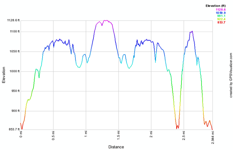 (The image at the left shows the profile of the hike. Remember that all vertical profiles are relative!)
(The image at the left shows the profile of the hike. Remember that all vertical profiles are
relative!)
(The image at the left shows the profile of the hike. Remember that all vertical profiles are relative!)
(The image at the left shows the profile of the hike. Remember that all vertical profiles are
relative!)