
Wyanokie Torne
| Quick Look | |||||
|---|---|---|---|---|---|
| Difficulty | Round trip | Total climb | Location | Elevation | Internet Maps |
| 2.17 mi | 565 ft | N41.0436 W74.7039 Passaic | 1120 ft | AllTrails | |
 Park at pulloff on Otter Hole Road just west of the main parking area for Norvin Green State Forest. Walk west on the road watching for the beginning of the blue blazed Hewitt Butler Trail on the right. Cross the ditch and start out on the HB Trail to the top of the Torne at about .5 miles. From the top and points near the top there are some nice views. You can return to the car or get back on the HB Trail and head for Osio Rock a little further south. After a steady descent marked by a few steep areas you will meet the red Torne trail at about .9 miles. Continue ahead on the HB Trail to climb to the top of Osio Rock at about 1.3 miles. The views from here are spectacular including those of the NYC skyline. Reverse your route but take the Torne Trail when you get to the junction. This trail will intersect the HB Trail almost back to the road. Walk the road back to your car.
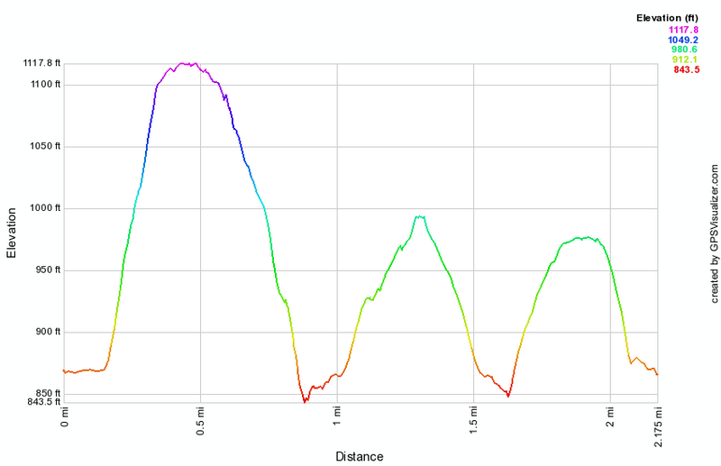 (The image at the left shows the profile of the hike. Remember that all vertical profiles are relative!)